Data acquisition
Data Acquisition
Discover our process
How we proceed?
GISCAN solution is leveraged by its customised process which includes data collection, information processing system and data analysis.

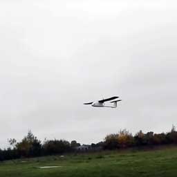
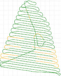
Flight
Acquiring data through UAV platforms (drones or planes) is possible. Low cost and quick compared to airplanes and satellites, GISCAN provides high-tech tools equipped with high quality cameras are used to collect data automatically.Our professionals ensure that all security measures and procedures are respected during the whole process.

Calculation
Collected data are processed in timely-manner with high-quality softwares such as photogrammetry.GISCAN’s team cross-checks information to compare data acquired on the ground and in the air. This aims at strengthening data accuracy and improve end-results.Quality of image delivery is one of OUR priority, that is why, our team uses latest technological softwares to produce not only accurate but, high resolution data.

Analysis and export in different formats
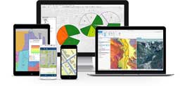
GISCAN’s team carries out analytical and collating work to extract the best possible solutions to improve economic cost-effectiveness and efficiency of clients. The broad analysis enables our experts to highlight elements that are key to company’s productivity and success.The client can have access to processed information on a dedicated secured online cartographic server. User-friendly and adaptable, the information, available in 2D and 3D can be accessible with a personalized password on any computer.
Flight processes

Onsite analysis
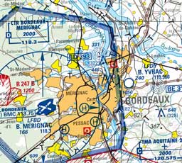
Site evaluation and analysis taking account of local Civil Aviation regulations.
Flight planning
The flight plan is carried out in specific software. The creation of the flight plan is dependent on the weather forecast. Several parameters are considered before finalizing the flight plan.
Flight Execution
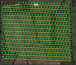
Ground Control Points (GCP) are placed by our technicians and Data are synchronized with GPS centimetric precision.Flight (s) are conducted during the best time slot of the day
DATA’S PROCESSING
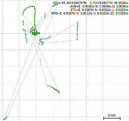
Post processing and analysis of GPS survey quality
The Data collected with high GPS centimetric precision is post-processed by our technical team in raw format in view of obtaining better precision, due to several parameters.GPS data comes from collected ground targets as well as embedded GPS RTK.
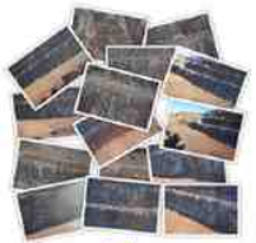
Processing and photos analysis after flight
The Data collected with high GPS centimetric precision is post-processed by our technical team in raw format in view of obtaining better precision, due to several parameters.GPS data comes from collected ground targets as well as embedded GPS RTK.
Photogrammetry processing
The processing of images from the flight is done through photogrammetric software. It is possible to produce a 3D point cloud through research of homologous points, via several processes in this software. This result to: an orthophoto, a Digital Elevation Model(DEM) and a colored 3D point cloud.
Consultation and Analysis of Data
GIS Export
Data is exported and converted to GIS for fast operation or conversions to other formats (CAD / CAD, 3D, …)
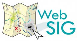
WebGIS
GIS data can be easily and quickly consulted by clients via a highly secured webmapping application hosted on one of GISCAN servers. Links are De-identified. The online device does not require any specific technical IT knowledge
More than data acquisition… an inclusive approach to value data
GISCAN brings its know-how and diverse experience to offer a comprehensive solution based on cutting-edge technology.Reliable and close to client’s need, GISCAN’s team ensures effective data acquisition and accurate data analysis to leverage your company’s objectives and add value to its performance.
Free quotation ?
Contact us