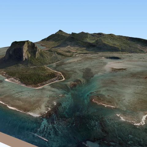
The famous mountain Morne Brabant located in Mauritius in the Indian Ocean visible here in 3D. Realized from from GIS (Geographic Information System) data : Digital Terrain Model and Aerial Orthophotg…
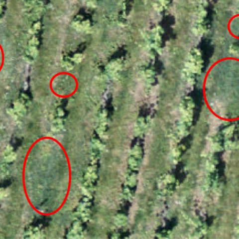
Still in the series of what it is possible to do on a commune of 33km2 (click here for more info), we will discuss in this article the precision agriculture or rather precision viticulture thanks to t…
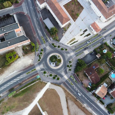
From the data acquired on Blanquefort (see article published previously for more details => https://giscan.com/en/big-data-mapping-a-town-of-33km%c2%b2-with-a-drone/), it was possible to generate a…
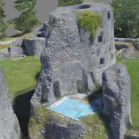
Flying a whole town of 33km² with a drone seems a big challenge to be taken up. As part of GISCAN ‘s Research and Development projectS, our team decided to carry out an experiment to eval…