3D Model from drone data
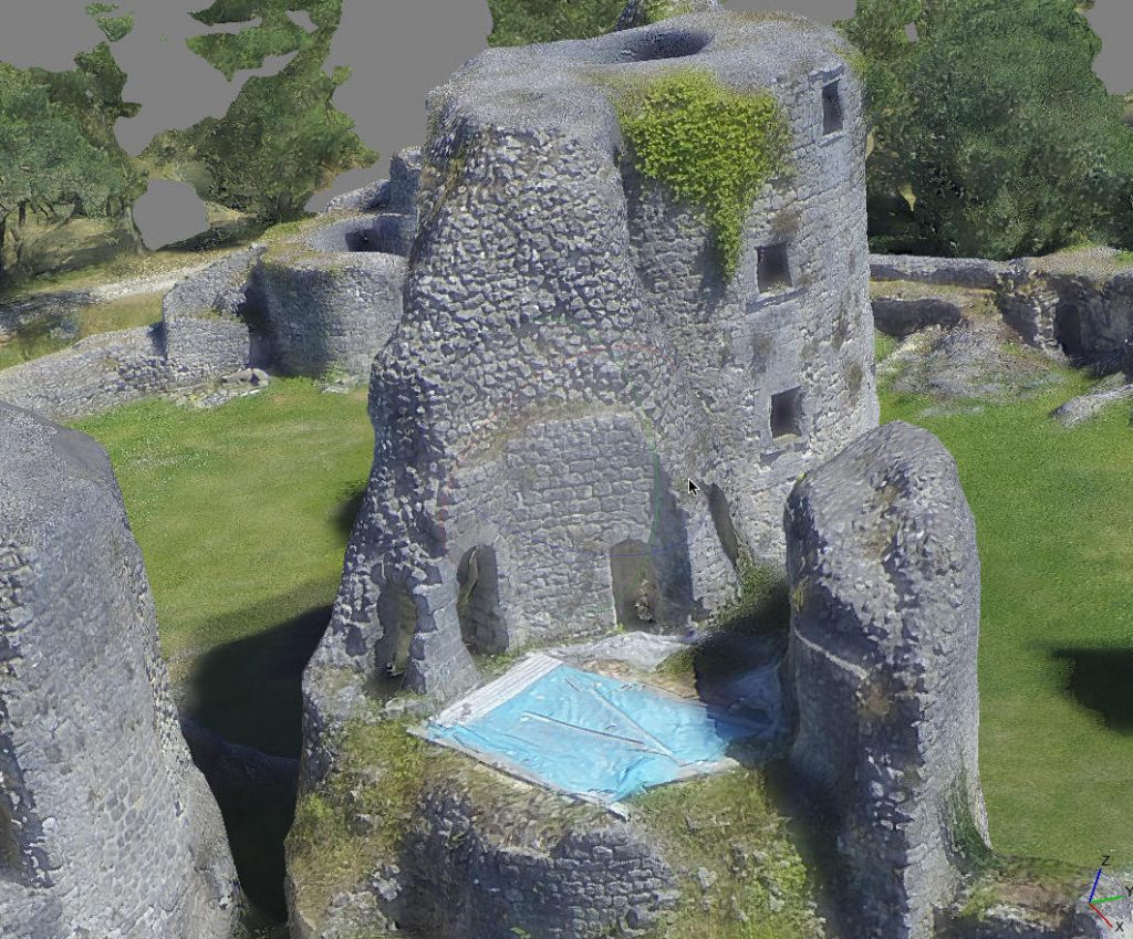
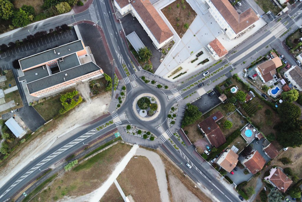
From the data acquired on Blanquefort (see article published previously for more details => https://giscan.com/en/big-data-mapping-a-town-of-33km%c2%b2-with-a-drone/), it was possible to generate a precise 3D model of the fortress of Blanquefort thanks to the photogrammetric process. The fortress of Blanquefort is a must for the historical visit of the heritage of Blanquefort (town of Gironde, 33290). Currently […]