Close

orthophoto

3D model of mountain Le Morne in Mauritius

Le Morne Brabant en 3d

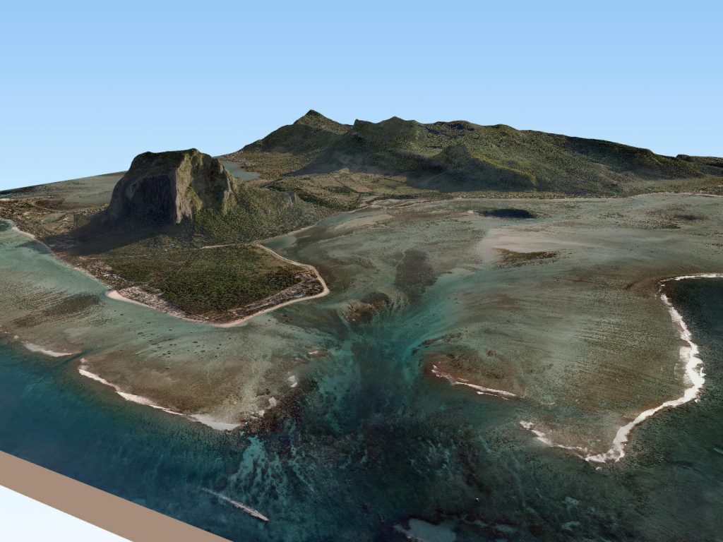
The famous mountain Morne Brabant located in Mauritius in the Indian Ocean visible here in 3D. Realized from from GIS (Geographic Information System) data : Digital Terrain Model and Aerial Orthophotgraphy. Morne Brabant – Mauritius by giscan   Watch also in our website with embeded webgl from Qgis : giscan.com/fr/morne-brabant-3d/   Enjoy !

Read More

BIG DATA : Mapping a Town of 33km² with a drone

Flying a whole town of 33km²  with a drone seems a big challenge to be taken up. As part of GISCAN ‘s Research and Development projectS, our team decided to carry out an experiment to evaluate the solution on such extended surface  while testing its reliability in terms of flight effectiveness, data collection and time […]

Read More